Mar 20 2019
The rapid development of maritime archaeology through increasing 3D modelling techniques and digital approaches is catalogued in a new book that places Flinders University’s Maritime Archaeology program at the centre of this exciting activity.

The UNESCO UNITWIN Network for Underwater Archaeology has been chaired by Flinders University for the past three years – and the release of this book shows just how far 3D advances in this field have been made in a relatively short time.
The new book - 3D Recording and Interpretation for Maritime Archaeology (Editors: John McCarthy, Jonathan Benjamin, Trevor Winton and Wendy van Duivenvoorde) - is an international peer-reviewed volume published by Springer Books, Coastal Research Library.
It will be released with a special event at Flinders University Victoria Square at 6pm on Wednesday April 3, and registration to attend the free event can be done at https://www.flinders.edu.au/.
Inspired by the UNESCO UNITWIN Network for Underwater Archaeology International Workshop that was held at Flinders University in November 2016, the book includes work presented at the workshop dedicated to 3D recording and interpretation for maritime archaeology.
It also features practical and theoretical contributions about photogrammetric recording, laser scanning, marine geophysical 3D survey techniques, virtual reality, 3D modelling and reconstruction, data integration and Geographic Information Systems.
The Honor Frost Foundation, an international maritime archaeology supporter, provided about $12,000 to ensure the eBook version is Open Access and free to download (https://www.springer.com/us/book/9783030036348). Additional support for the publication of this book was provided by Flinders University College of Humanities, Arts and Social Sciences (also a sponsor of the 2016 workshop) and Wessex Archaeology (UK).
The books editors from Flinders University say its purpose is to provide a clear overview of state-of-the-art technology at work in maritime archaeology and to identify the future direction of emerging spatial or 3-Dimensional technologies for survey, analysis and dissemination.
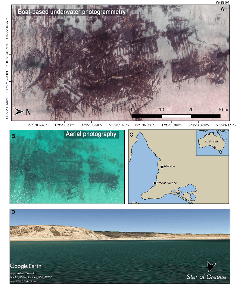
Local implementation of the advanced 3D survey techniques has been performed on the submerged Star of Greece historic shipwreck off Port Willunga, which the Flinders University Maritime Archaeology team has recorded in order to produce a photo-realistic 3D model and a high definition, detailed site plan.